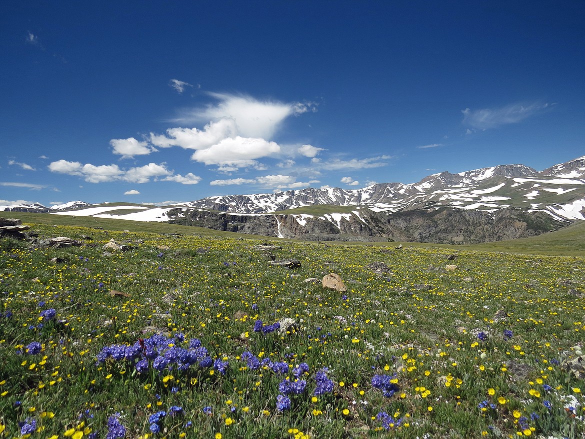
Southwestern Montana boasts high peaks and scenic views
Defining a region like southwest Montana is subjective.
For us, an imaginary line begins at Lolo Pass west of Missoula and moves east along Interstate 90 and the Clark Fork River to Garrison Junction. Then it follows Highway 12 over McDonald Pass to Helena. From there, our boundary extends slightly in a southeasterly direction, taking in the Big Belt Mountains before heading to Bozeman and then along the Gallatin Range crest to West Yellowstone. The south and west line of demarcation follows the Montana-Idaho border up along the Bitterroot Mountains.
Everything in between is fair game.
This is southwest Montana — a place geographers describe as an intermountain region — where mountain ranges are interspersed with broad sagebrush and grass valleys.
It’s a unique place in the American West, a corner of the nation that is, for the most part, sparsely inhabited and free of man’s intrusion. Our marks are dwarfed by the immensity of a prominent landscape — awesome, pervasive space lined by substantial mountains, many reaching over 11,000 feet into the sky.
Because of their distance from the center of some of the valleys, they don’t seem quite as high. The Madison Range alone has 120 pinnacles reaching beyond 10,000 feet, including the 11,316-foot Hilgard Peak, the highest peak in Montana outside the Beartooth Mountains.
About 35 miles west of Monida Pass, Eighteen Mile Peak at 11,141 feet, is the loftiest summit on Montana’s Continental Divide.
Who preceded whites in the southwest? A gulch off of Horse Prairie Creek has traces of humanity that date back 12,000 years. But exactly where, when, and which Indian tribes were first in Montana is up for debate. The state’s history wasn’t penned until 1805. Until then, oral chronology was passed down, and accounts differed from one another. Historians, though, have pieced together enough information to conclude that, prior to 1600, the valleys and mountains of southwest Montana were empty of human settlement (save for possible ancient people either passing through or temporarily inhabiting the region). Unlike the Montana prairie, Montana’s southwest corner wasn’t a beehive of Native American activity, although Three Forks was used as a crossroads and gathering place for many of Indian nations.
Sometime near 1700, the Shoshone — with the advantage of having horses — came into Montana and dominated a wide piece of territory extending from the far western reaches of the Bitterroot and Beaverhead mountains to well out on the high plains. Then several bands of the Blackfeet Nation drifted to the Montana prairie from Canada. Acquiring horses and guns, they drove the Shoshone to the state’s southwest corner.
Sacajawea, one of the Corps of Discovery’s most valuable members, was Shoshone. She had been kidnapped at the three forks of the Missouri in about 1800 by the Hidatsa, who ranged to the Rockies from their home ground near today’s Bismarck, N.D., to hunt.
Lewis and Clark lucked out in getting her as part of the package deal when they took on her husband, Toussaint Charbonneau, as an interpreter. (He turned out to be mostly ineffective.)
Pushed into a smaller range, the Snake people, as the Shoshone were often called, and their allies the Bannocks and Sheepeaters, chose to live in the region that would become Idaho, crossing back over the passes of today’s Beaverhead Range into southwest Montana to hunt.
With the exception of well-worn native trails and migratory camps, signs of early human presence remained minimal. The Native Americans were easy on the land.
Soon though, all this would change.
Rick Graetz is a member of the faculty at the University of Montana. He and his wife, Susie Graetz, have authored several books about Montana together.

