Wildfire roundup
Davis fire
Since greatly expanding last weekend, the Davis fire has grown little, hitting 5,724 acres and five percent containment by Thursday morning.
No structures have been destroyed. The Northwest Peak and Garver Mountain lookouts are threatened because they are within an area where the fire could spread, an incident report states. A white bark pine protection area and a climate sensors site are also threatened.
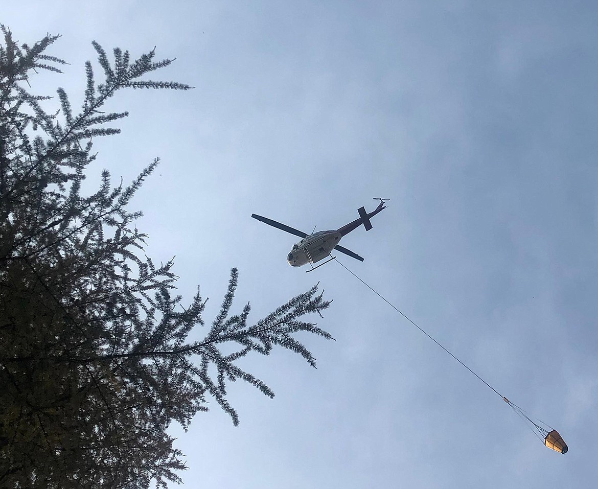
Thursday, crews planned to continue mopping up the southeastern edge of the fire, and to use heavy equipment to strengthen firelines to the south and southwest and to remove logs and other fuels. Helicopters continued to drop water as well.
Officials have imposed temporary flight restrictions in the fire area, which apply to drones as well as manned aircraft.
Tenmile, Sterling Complex fires
Fire crews made good progress this week on the Tenmile fire and the Sterling Complex of lightning-caused fires that popped up nearby last weekend.
From Monday to Thursday morning, the Tenmile fire grew only two acres in size, from 679 to 681, while its containment increased from 30 percent to 91 percent.
During the same time, the Sterling Complex grew more — from 544 acres to 907 acres — while its containment increased from zero percent to 27 percent.
Pre-evacuation orders issued Aug. 11 by the Lincoln County Sheriff’s Office remain in effect for residents near Edna Creek, Lake Creek, Sutton Ridge and Swamp Creek roads.
Gold Hill, North Gold Hill fires
According to an incident report, lightning caused both the Gold Hill fire in the Noisy Creek drainage north of Libby on Aug. 11, and the nearby North Gold Hill fire.
Both fires are being managed together; the former was estimated Thursday at 122 acres and zero percent containment, and the latter 7 acres and 10 percent containment.
“Fire crews and heavy equipment are gaining access in steep rugged terrain to [the Gold Hill] fires edge,” states an incident report.
“On the North Gold Hill [fire], crews have gained access to the fire with heavy equipment and ground resources,” the report continues. “Forward fire spread has been stopped.”
Area closures
Roads and trails are closed near all fires. Lists can be viewed at www.fs.usda.gov/kootenai/.


